Distance: 5 miles approx
Time: 2 hours
No. of pubs en route: 2
Safety notes: Some small sections of country lane walking with no pavements.
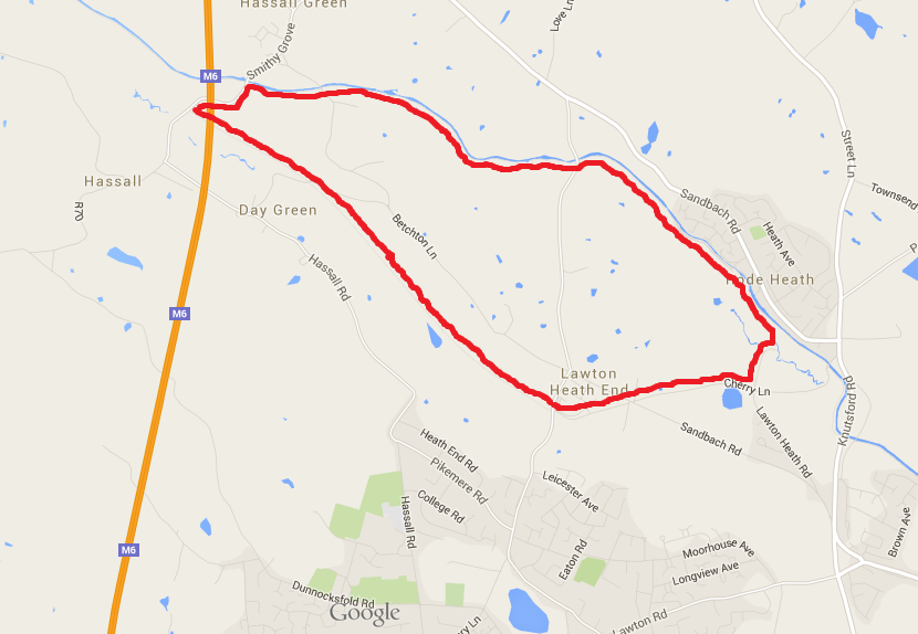
I’ve talked about walking along the saltline many times and recently posted some photographs of my Alsager – Rode Heath walk, so it made sense to have my first walk of the month as one that I know pretty well.
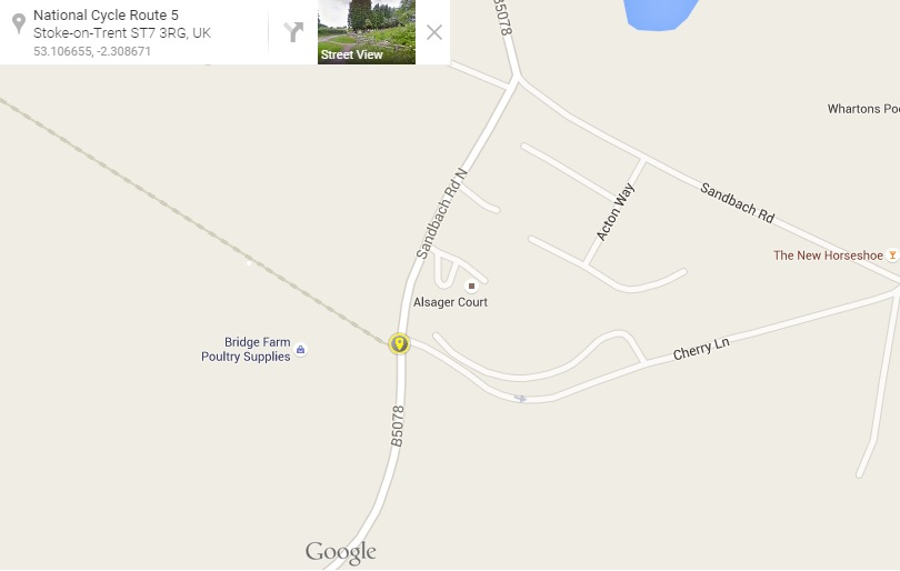
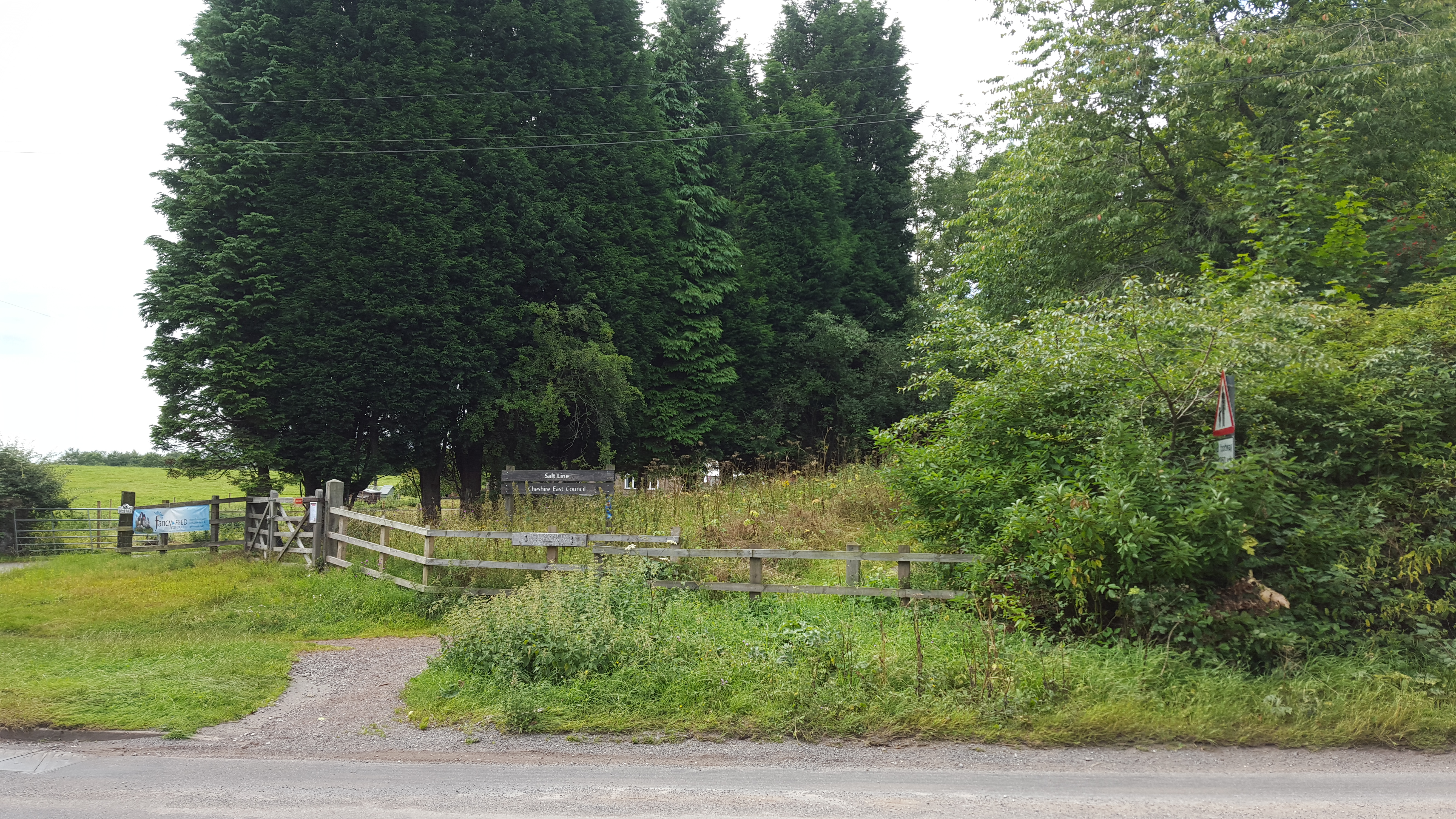
I start in Alsager and join the saltline where it meets Cherry Lane as marked on this map.
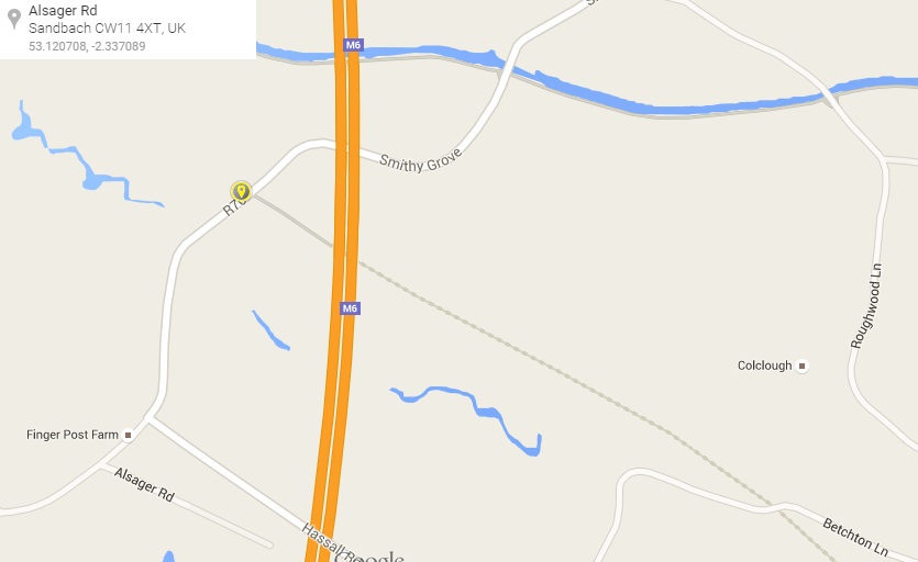
However if you are planning on driving to this walk then you’re best off starting at the car park in Hassall Green. Scroll down to the car park paragraph and follow the instructions from there, finishing with the first chapter on the saltline.
Off we go
The saltline is a disused railway and is quite suitable for well behaved dogs to be off lead. Its often used by horse riders, cyclists and families, amongst other user groups.
Starting in Alsager, head along the saltline. You’ll see a few paths leading off to the left and one to the right. The paths to the left join up with Borrow Pit lake and there are a few small circular routes around the lake and up to the viewing point if you fancy a detour.

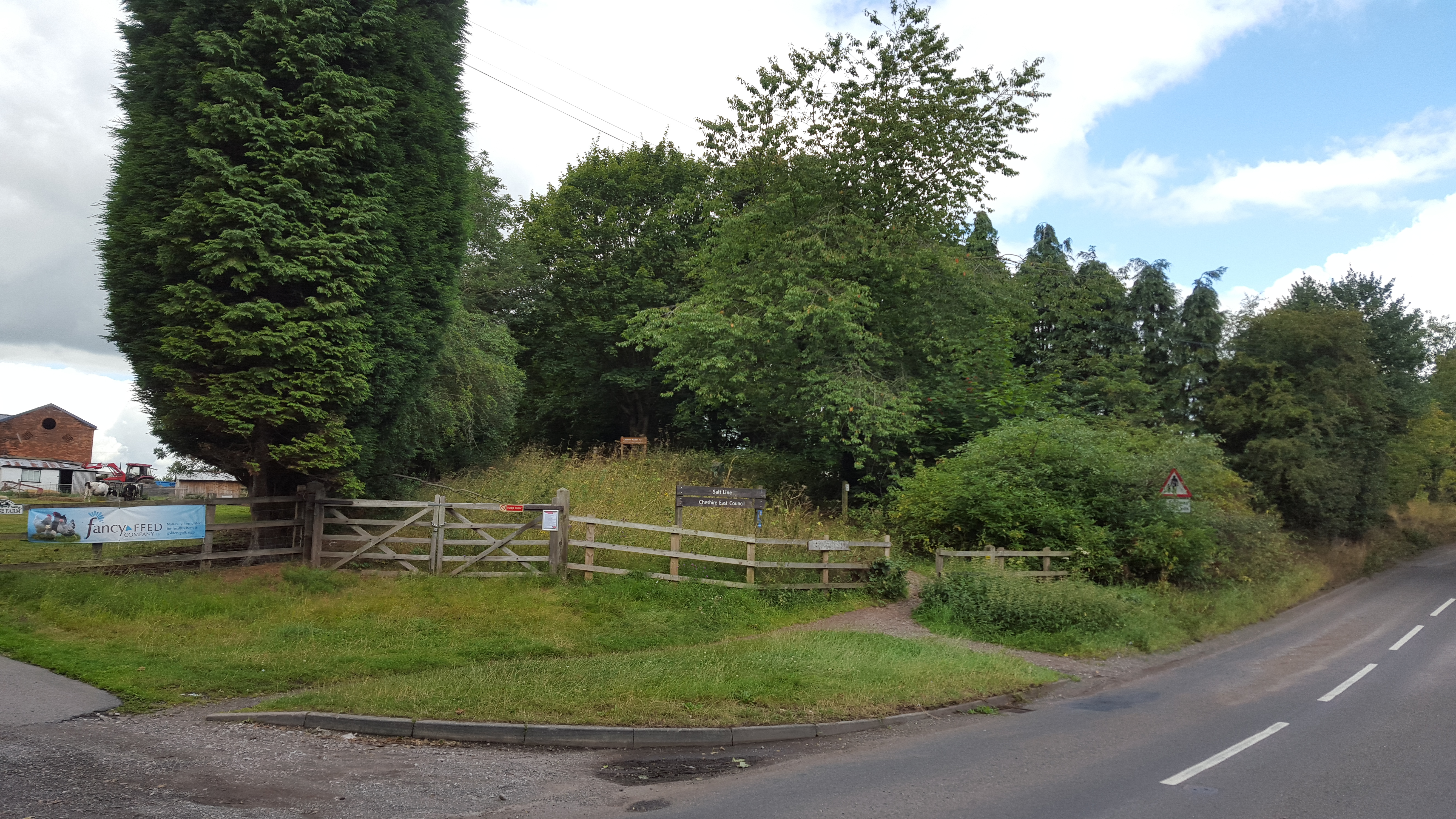
There are a series of numbered posts along the saltline which make up the tree trail, plus a few rubbing posts. Brochures for the tree trail can be found at the car park. The numbers run up along one side of the saltline and then back down the other side, so perhaps an activity for another day, or you could follow this walk backwards from the car park to get a brochure first.
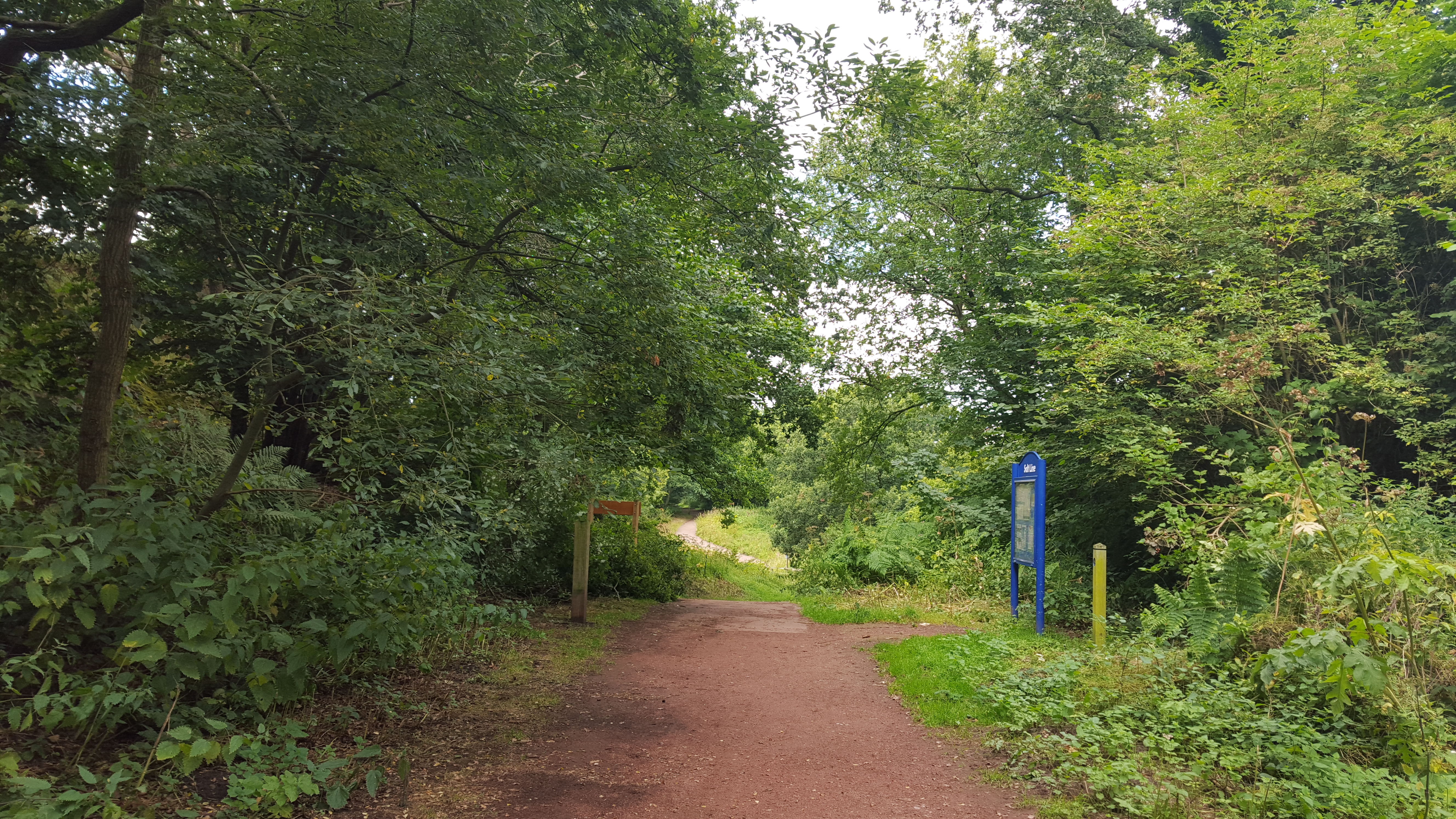
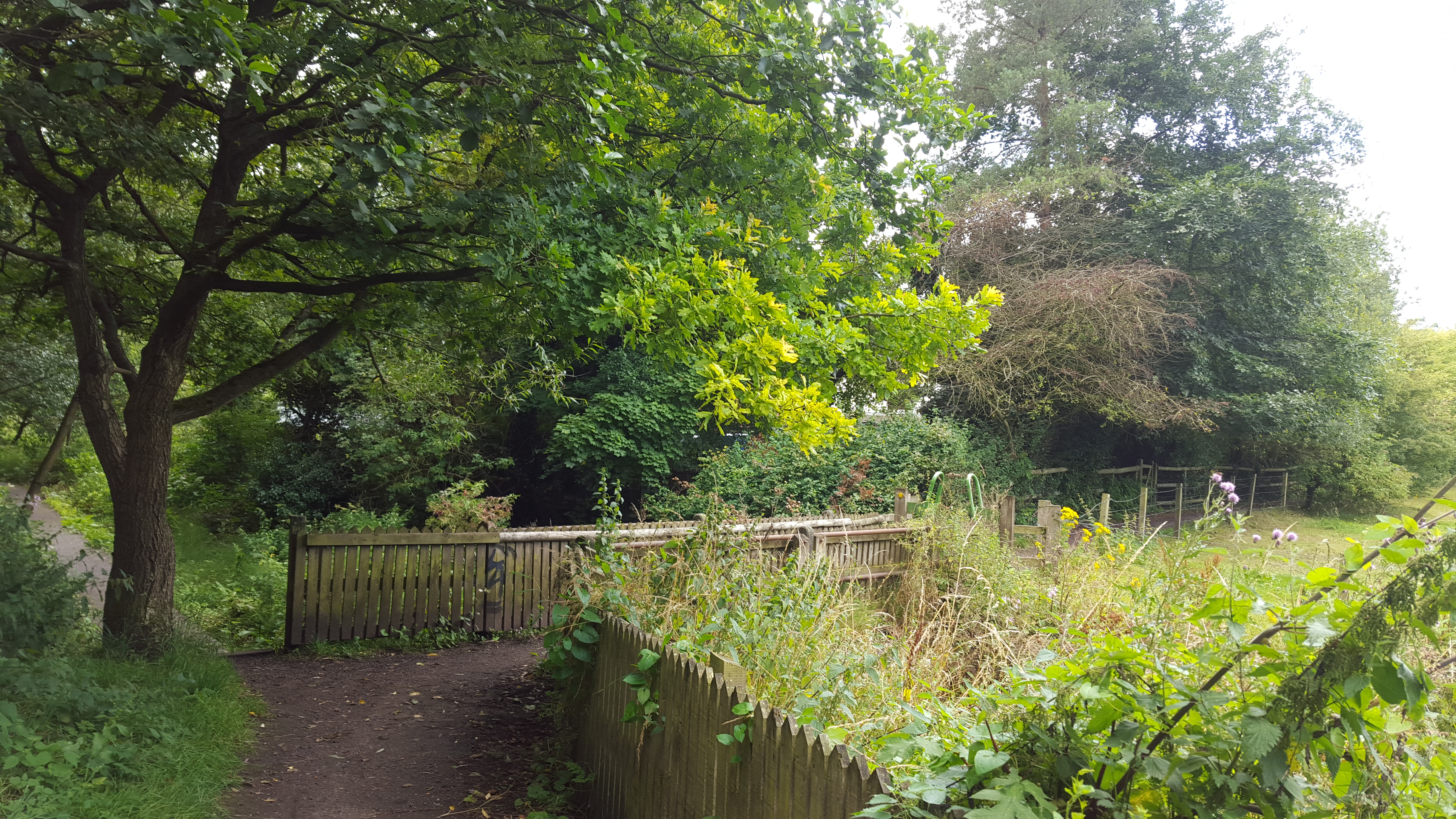
As you reach the notice board and the path starts to dip away then be aware, you’re approaching a road (be it a quiet one). Cross over and continue along the saltline, you’re nearly at the end of the track now.

Decisions decisions
There are two options here, if you are continuing on then you can cut out a corner and avoid a small section of road walking by taking the footpath to the right before you reach the large motorway bridge.
A. Follow this footpath up, over a style and along the edge of a field before turning 90 degrees to the right and out onto the road at the pink church. Now turn right onto the road and follow it up to the canal.
B. If you are finishing at the car park, or wish to grab some leaflets, then continue under the motorway bridge and the car park lies ahead across the road. Be aware of crossing here as it is difficult to see to the left.
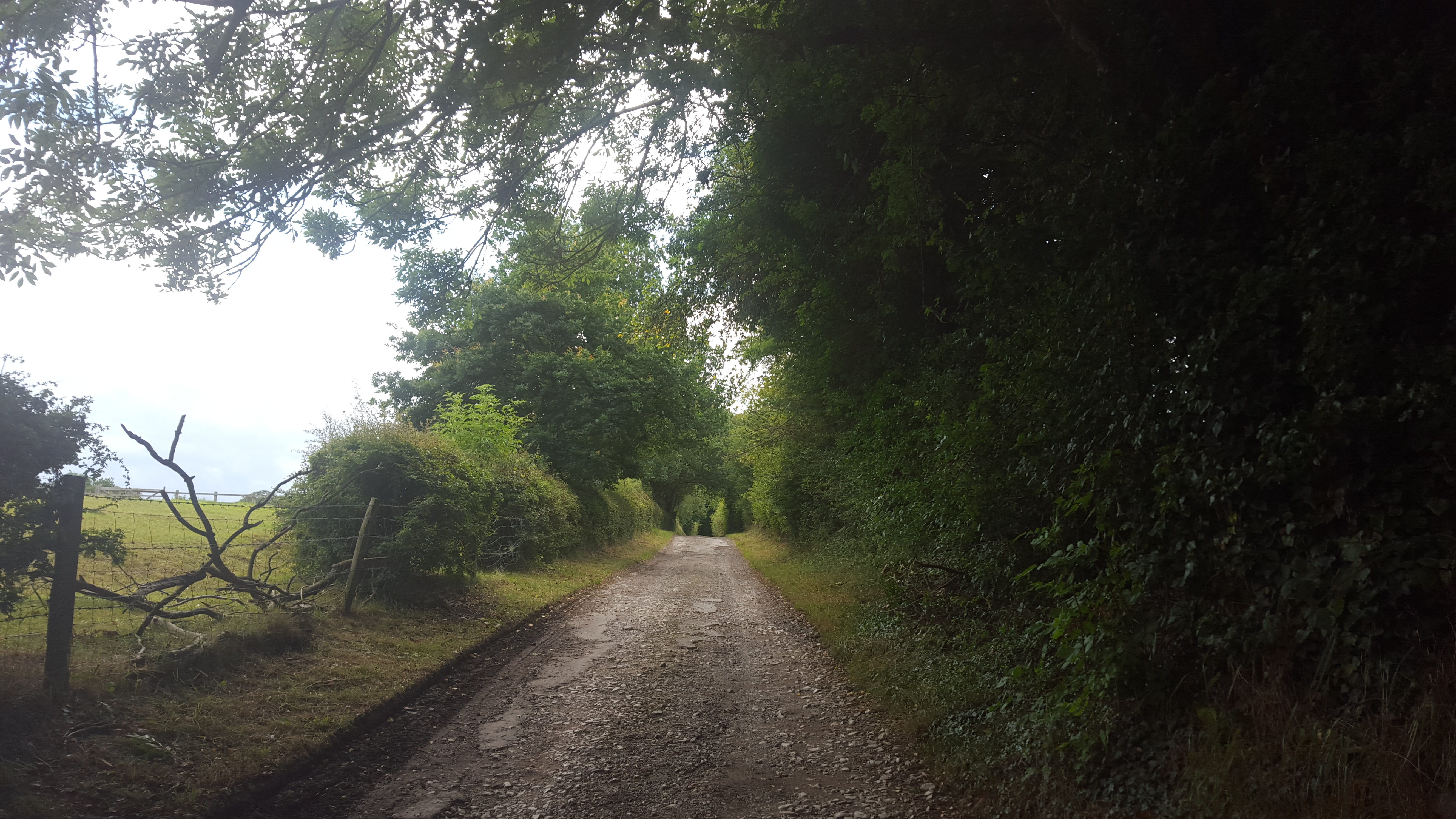
From the car park
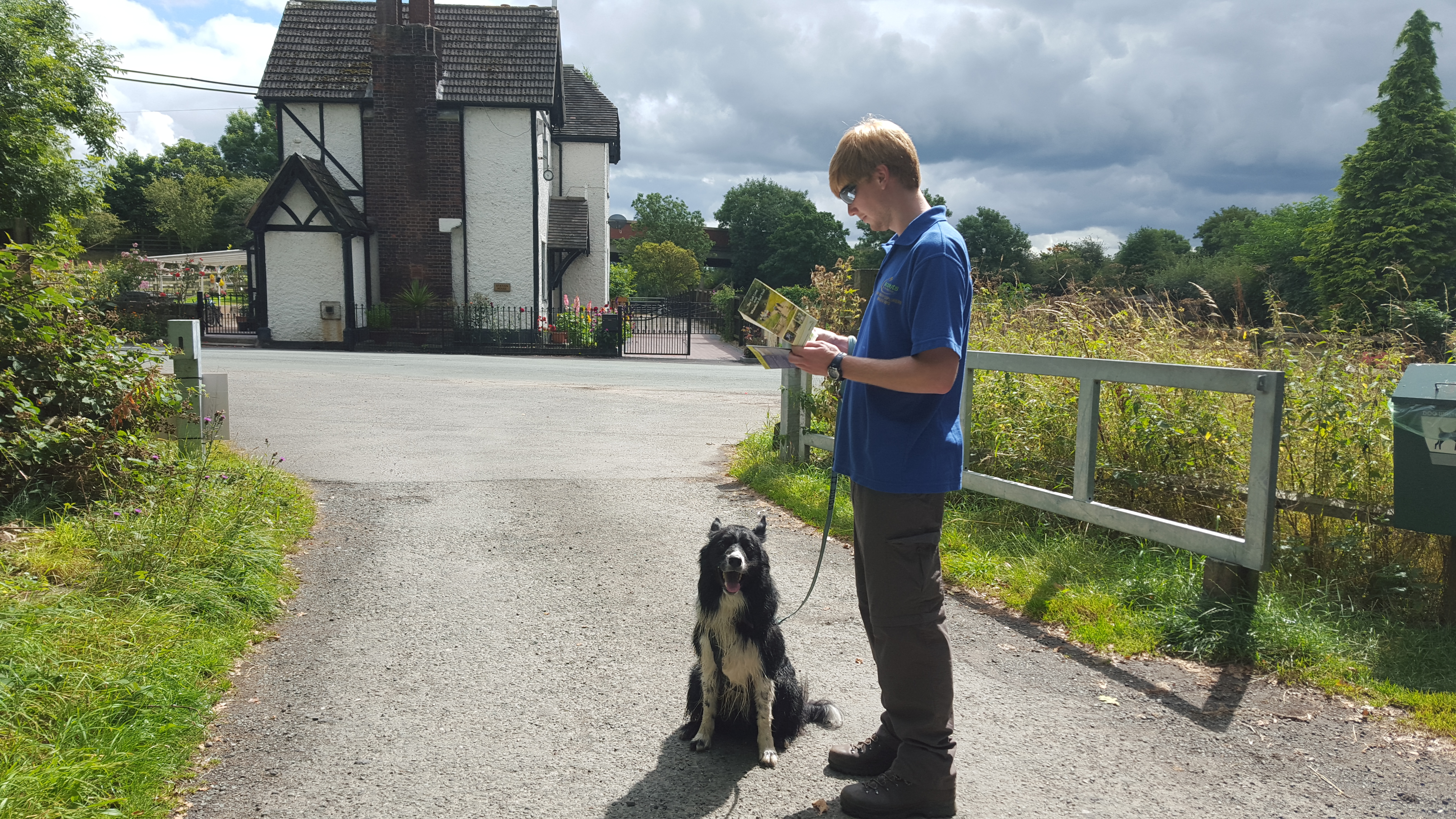
With your back to the car park turn left and follow the road along. This is a fairly quiet road but be careful as there is no footpath.
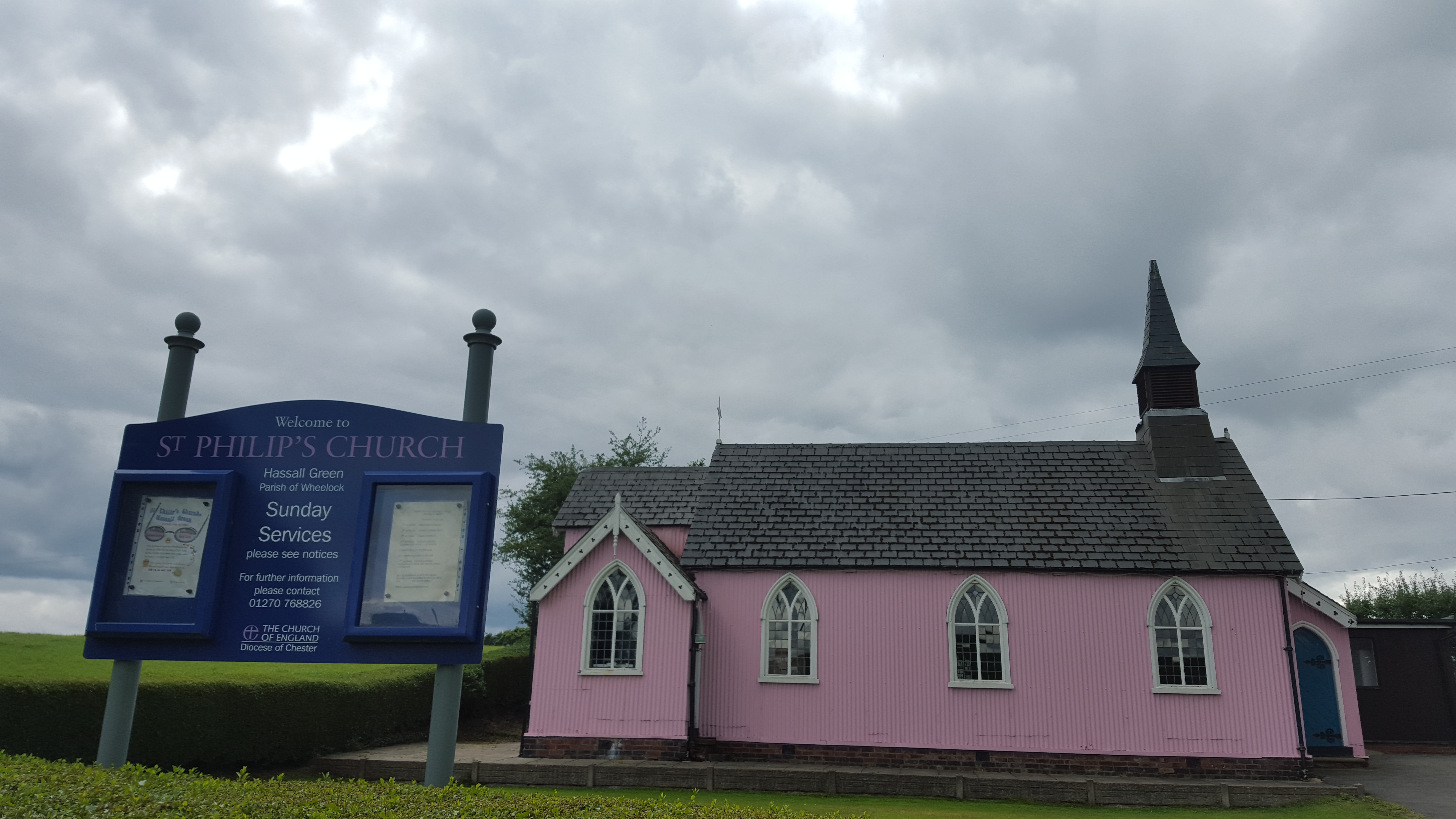
Keep your eyes pealed for the pink church on the right! Carry on past it and up the road onto the bridge. You’re now passing over the Trent & Mersey Canal.
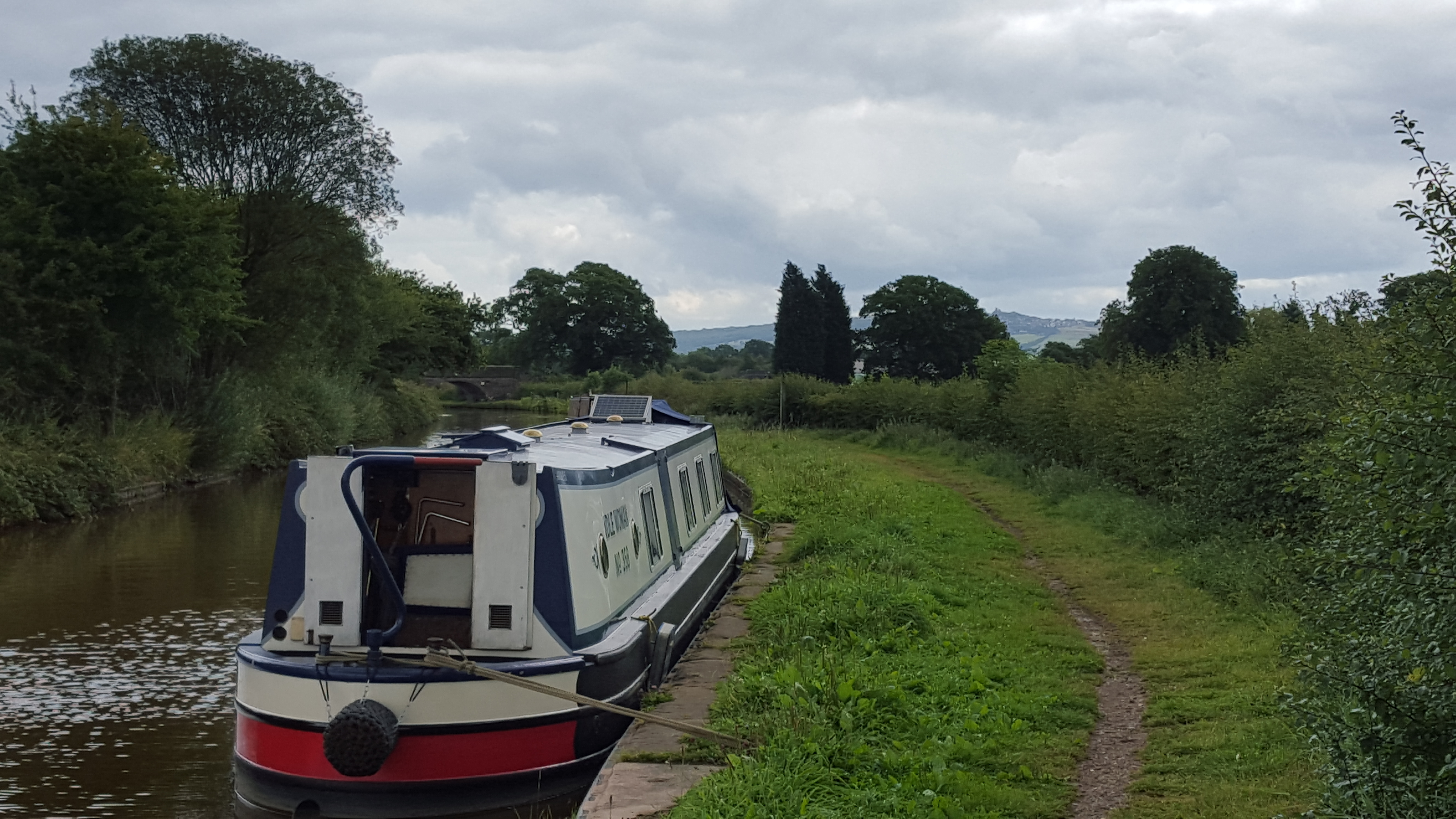
Onto the canal
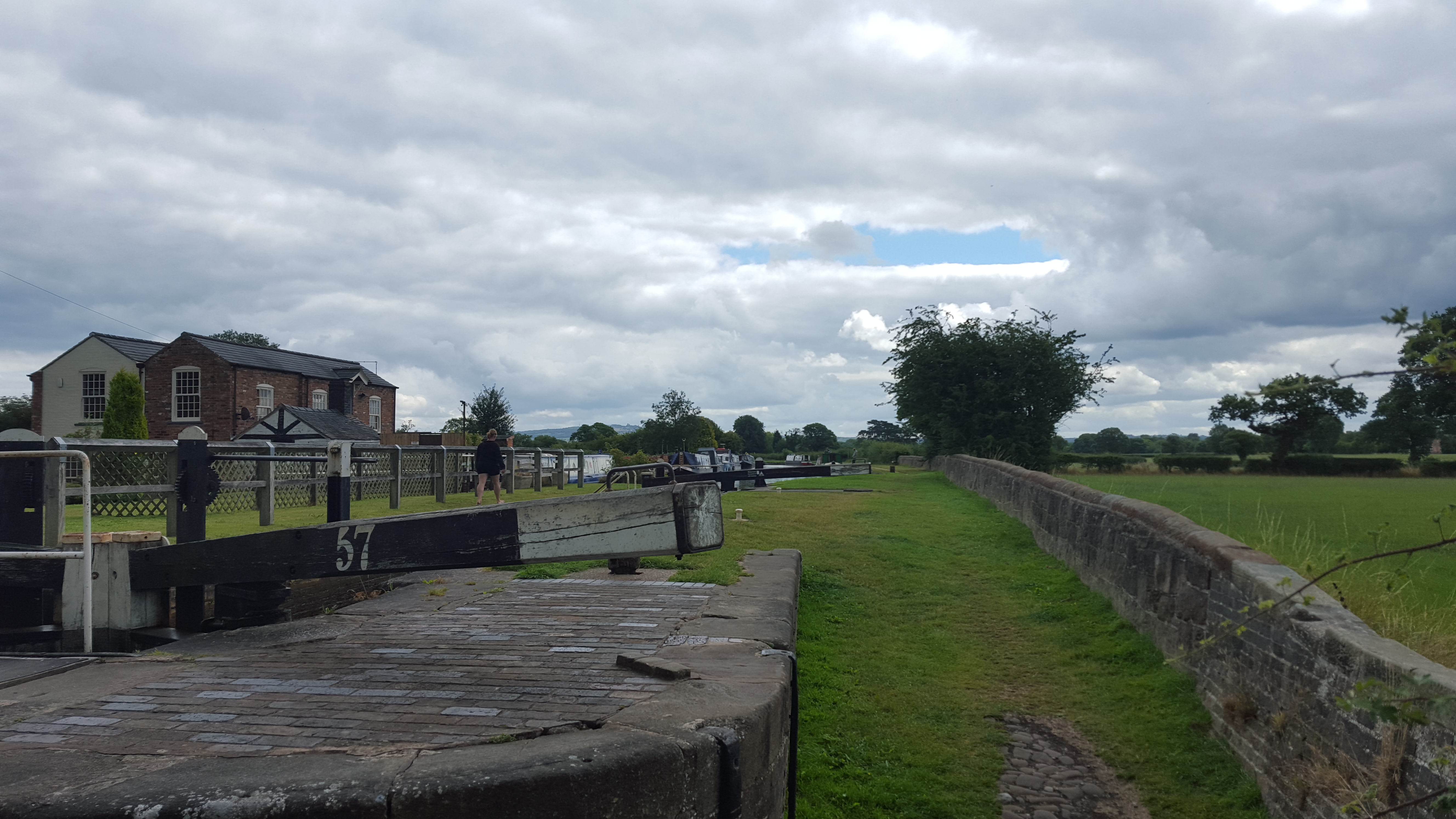
Walk over the road bridge and turn right and over the lock to join the canal, walking along with the wall on your right. (If you’re facing the motorway you’re going the wrong way!)
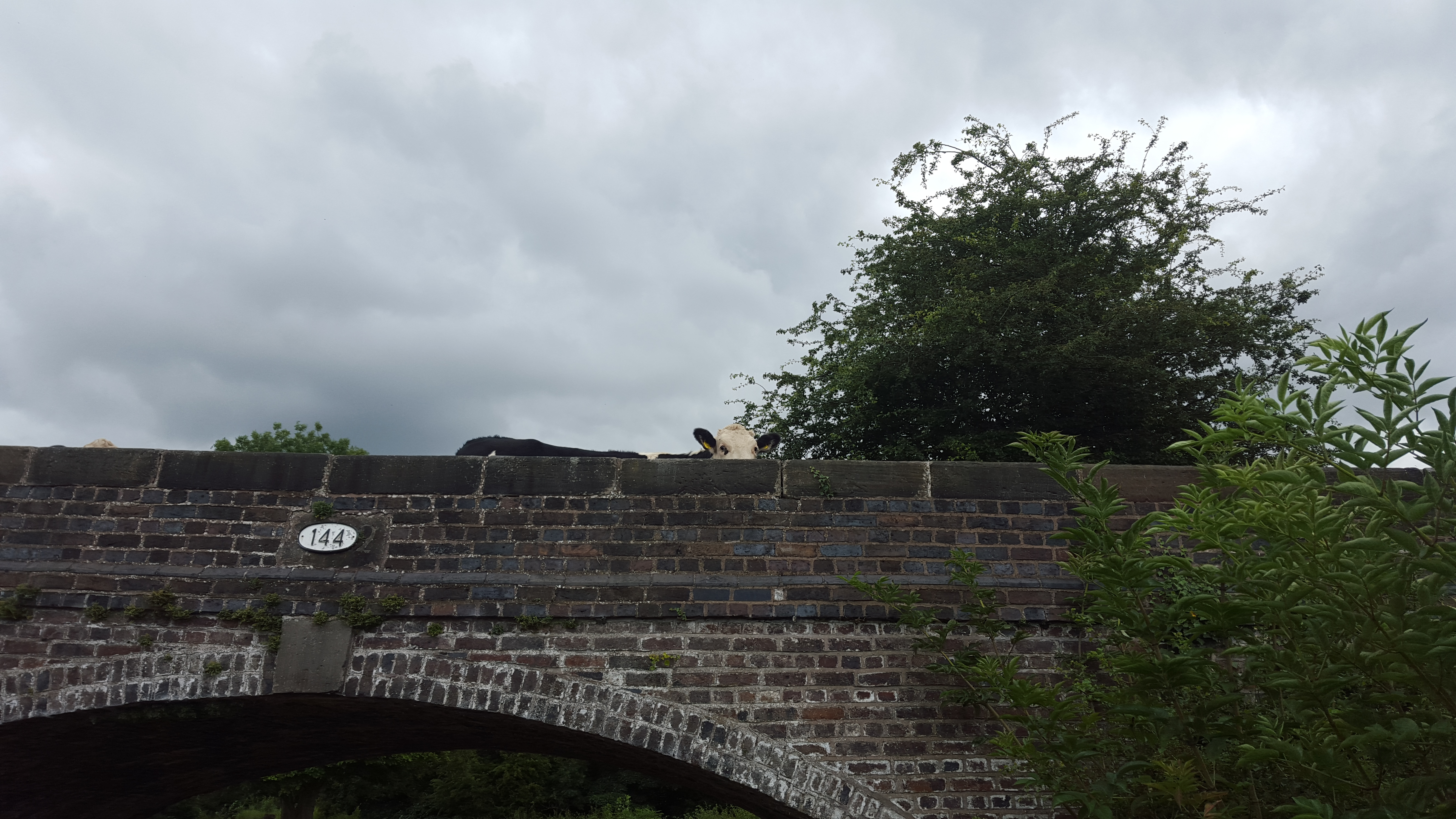
Quite soon you’ll be blessed with lovely views of Mow Cow castle, one of the reason why I enjoy walking this way round.
 Keep following the canal past the farms and the nurseries and eventually you’ll arrive in Rode Heath.
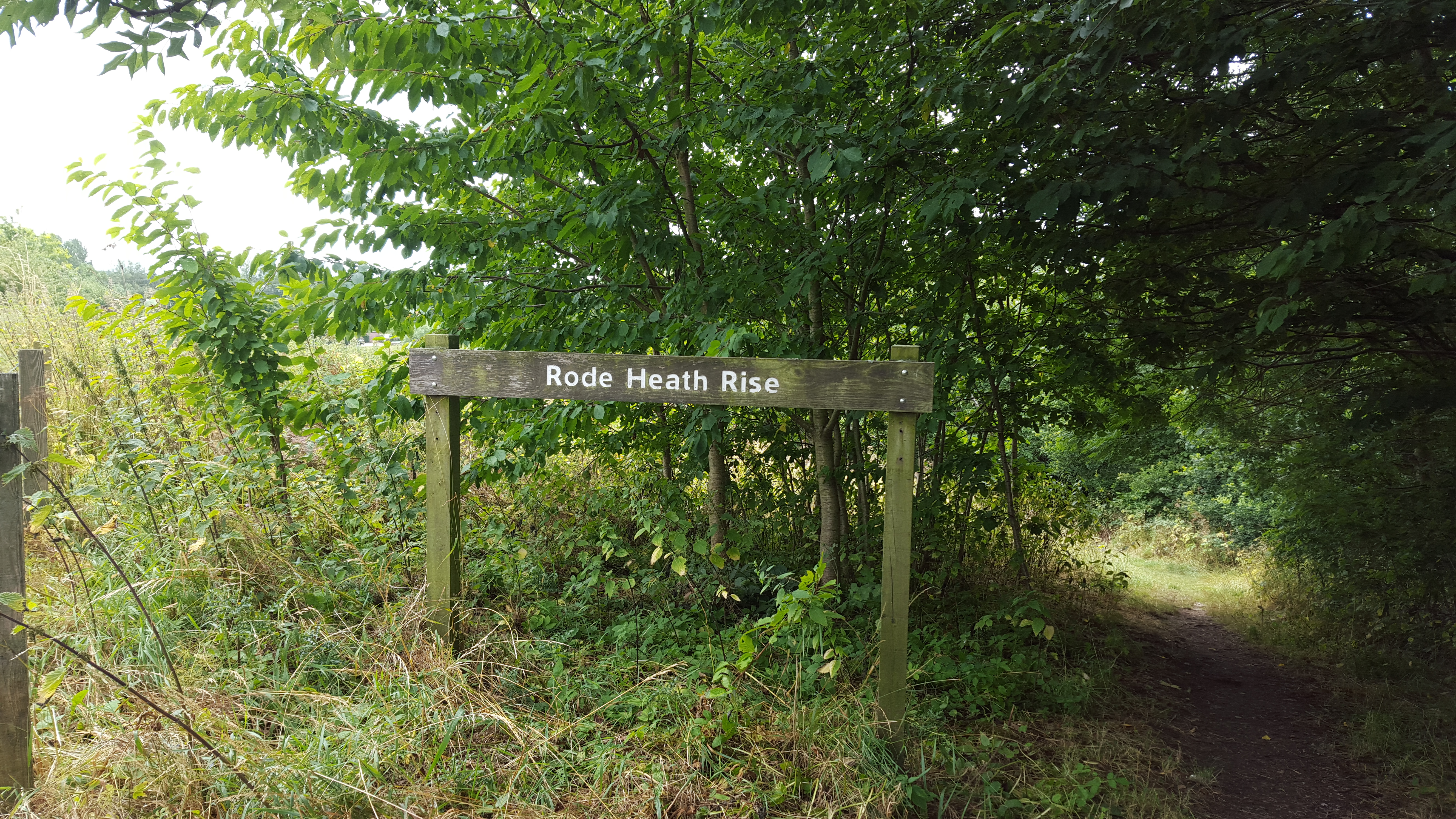
 Stay on the canal through the village and soon you’ll find Rode Heath rise on your right, a large sloping meadow.
If you stay on the canal with the rise on your right then you’ll see pub number 1 on the other side of the canal, The Broughton Arms. It’s dog friendly and the food is lovely if you’re after a bite to eat, or just a drink. Access the pub by leaving the canal at the bridge.
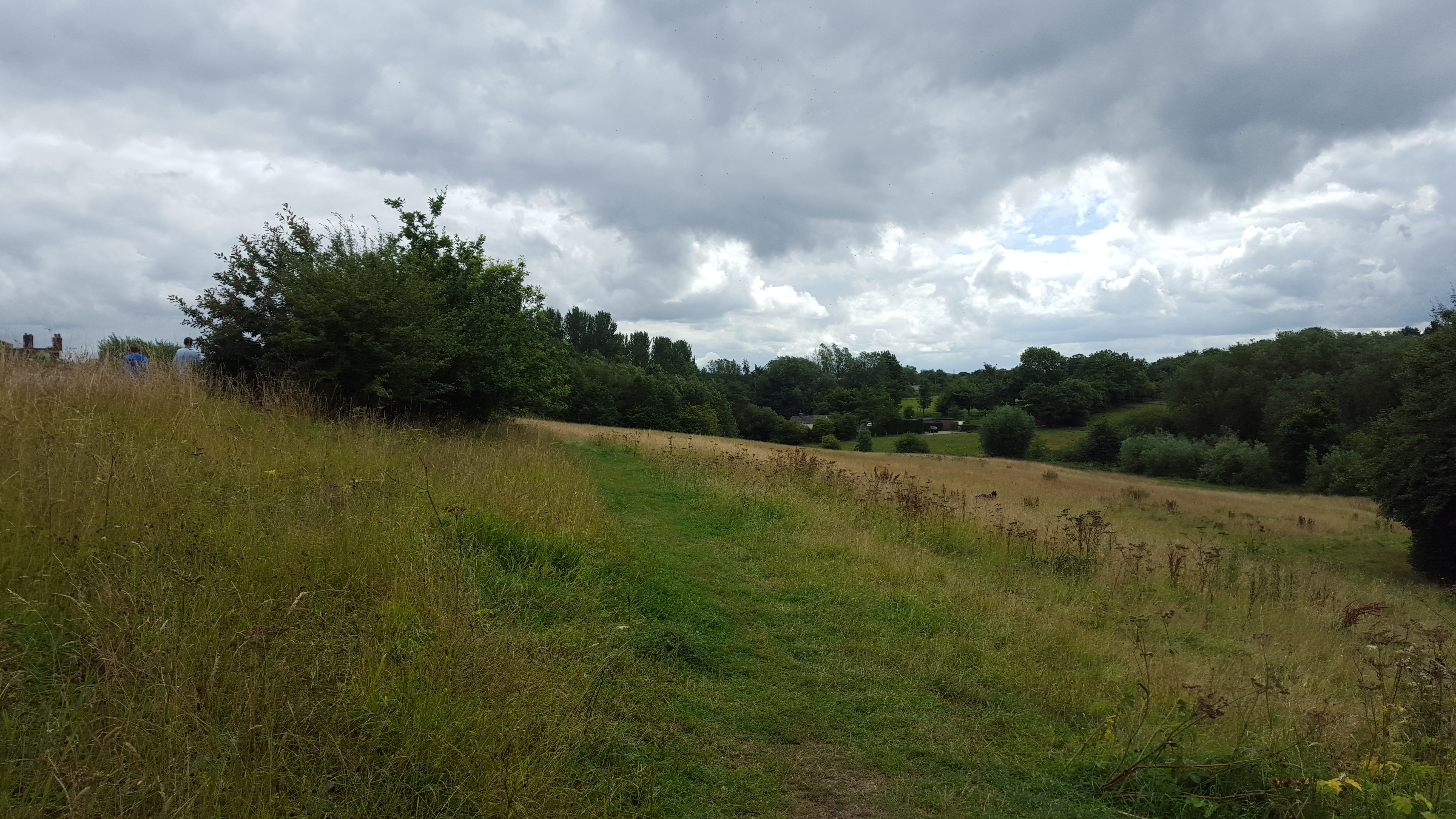 If you’re not planning a stop at the pub then you could take the first access onto the rise and take a diagonal route across the field, aiming for furthest bottom corner. Or at the bridge opposite the Broughton Arms turn right and follow the steps down. This is the last section that is suitable for dogs to be off lead so I like to give Guinness a final run around the rise.
Once you get to the bottom of the steps, or follow the path across the rise and alongside the stream, you should find this little bridge. Cross it and listen for the dogs barking at the kennels as you pass by, along a small access track.
At the end of the track turn right and follow the road along. You’ve now got a final stretch of road walking with no pavements.
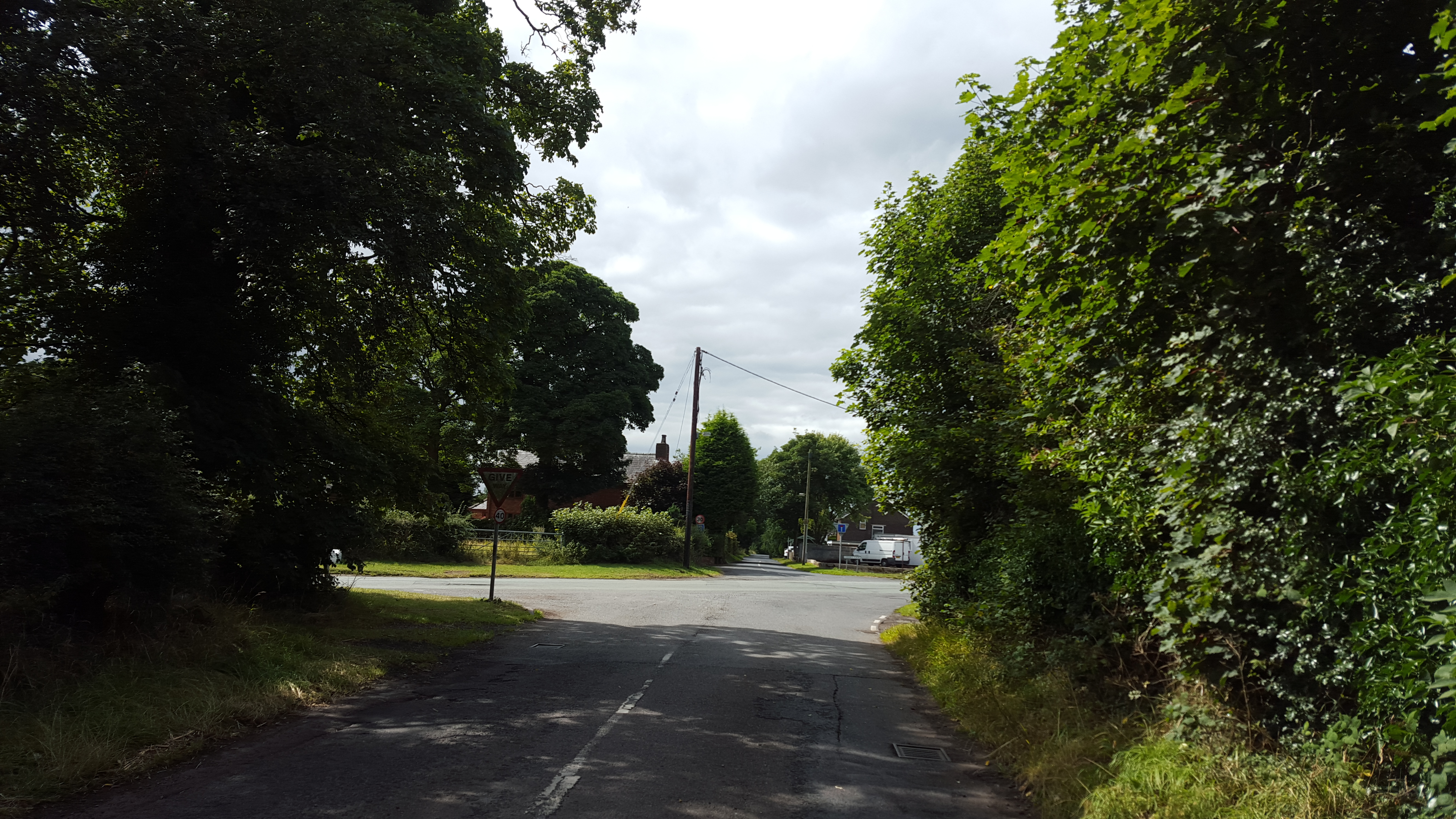
You’re nearly back at the saltline. At the crossroads you’ll find the second pub tucked around the corner to the right, the Horseshoe Inn. I don’t believe the horseshoe inn is dog friendly, but it does have some seating outside.
Head straight across the crossroads to continue down Cherry Lane. About halfway down the road becomes one way, with cars only coming towards you. The road is narrow and people shoot up it fairly quick so be careful.
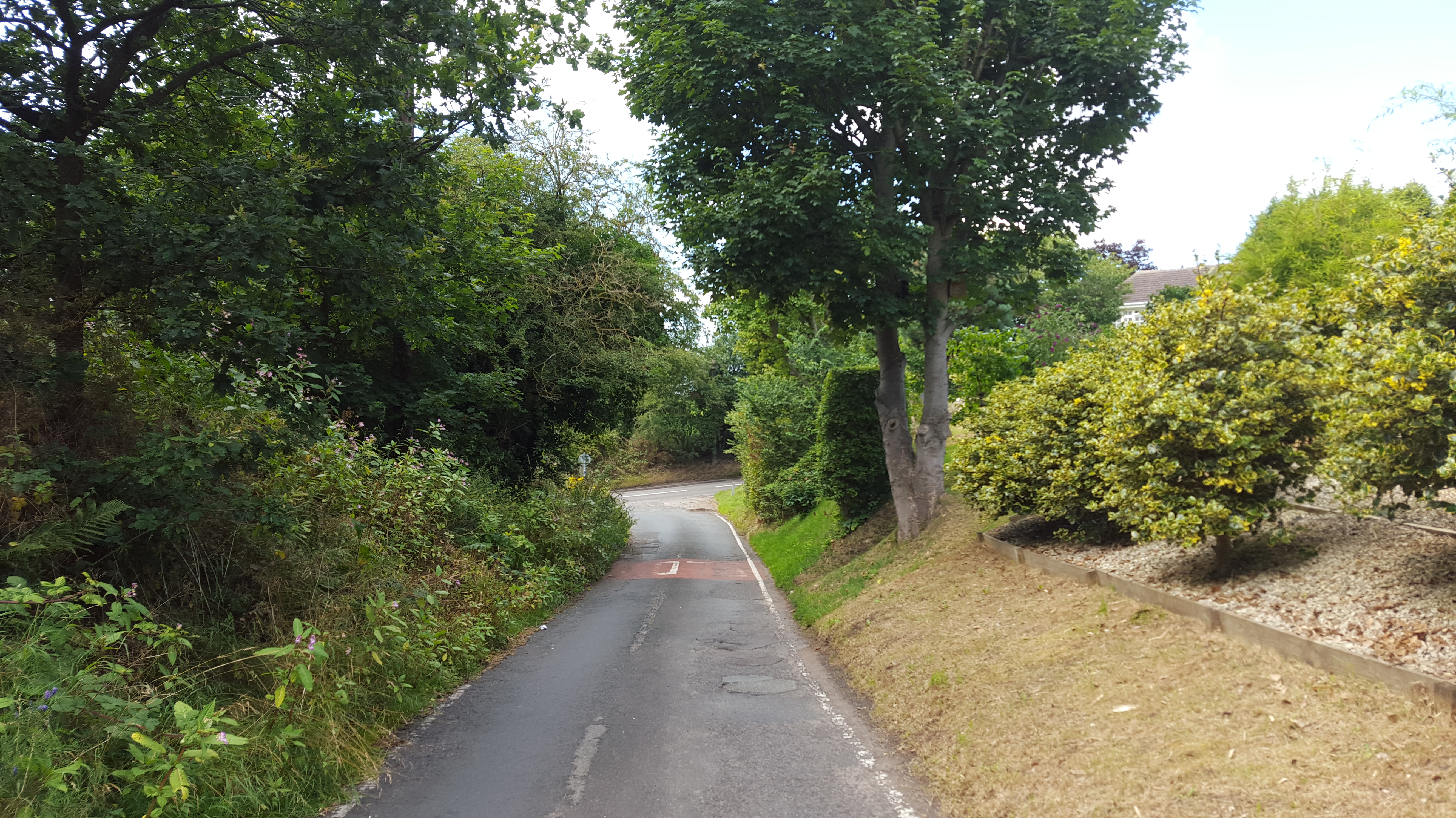
There is a small path off to the left that then turns right and runs parallel to the road, coming out onto the main road. This cuts out the most dangerous section and allows you to avoid walking down the road right to the junction.
Voila!
We’re back to the start of the saltline! If you’re parked in the car park then carefully cross over and check out the first paragraph for details, but simply follow the saltline along until you reach the car park!
Easy peasy!
Enjoy and share your adventure
I hope you enjoy your walk and I’d love to see photographs of you venturing along any or all of this walk. I love this route and it’s really simple to follow and relatively dog safe, plus its quiet, green and an enjoyable gentle walk.
Leave a comment or send me an email if you’re planning on or have already done this route!